|
|
 |
MY FAVORITE STREETS
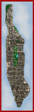
Interactive Map
|
Click to the left for an interactive map with images of some of my favorite places |
| |
|
|
|
|
|
|
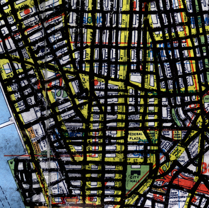
The map I walked with was an old version published by Hagstrom. Some people think it's more "artistic" than the new computer-generated version. I marked off the streets with a black Sharpie marker as I went. As you can see below, by the end the street names were completely illegible, and I ended up carrying another map so I could figure out where the heck I was. |
|
|
|
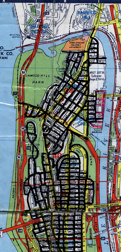
Below, you can see the neighborhood of Marble Hill just across the river from the northern tip of Manhattan. A lot of people ask if I included this neighborhood in my walk. Marble Hill used to be part of Manhattan island; notice how the streets still curve to follow the original shoreline. In the early 19th century, a canal was dug just south of present day 225th Street, and Marble Hill itself became an island—cut off from the rest of Manhattan. Later, the original river to the north was filled in, and the neighborhood became part of the U.S. mainland, but it always remained part of the borough of Manhattan. I arbitrarily decided that my walk would just encompass the current island of Manhattan. Other outlying parts of the borough include Ellis, Liberty, Governors and Roosevelt Islands.
|
|
|
|
|
|
|
|